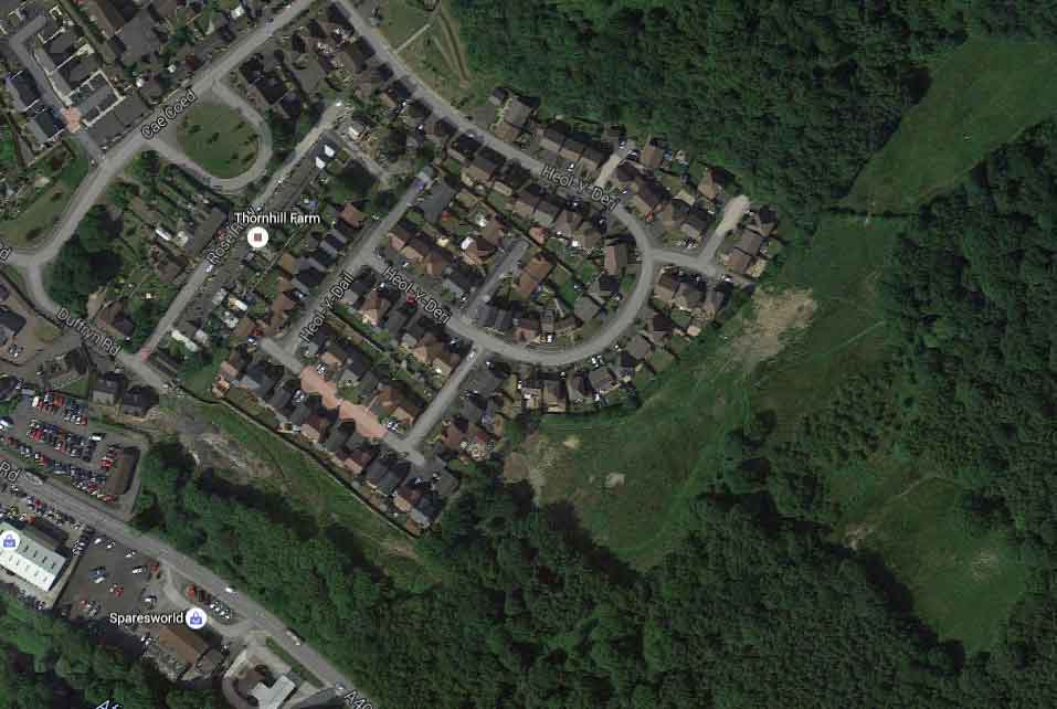
Coed Dyffryn Cwmbach,
The construction on a redundant ash tip and floodplain described as a fabulous development said Persimmon about Coed Dyffryn Cwmbach, it was estimated estimate 1000 tons of hardcore a day would be imported onto the site to raise the ground level I assume to prevent the flooding that now occurs raising the ground level in filling the floodplain moving the problem of excess floodwater in a flash flood situation.
The flood corridor constructed on the Persimmon site being intended primarily to provide a flood relief channel, but flood relief for whom? With predicted increased rainfall and flashfloods being the norm we can expect more of the same.
Councils urged to take a tough line on flooding risk
The Government has published new guidance for planning authorities on dealing with flooding risk when deciding on new housing development.
Five steps are highlighted in a good practice guide written to accompany PPS 25, the planning policy statement on flooding.
Councils are advised to:
*
Identify what the flood risks are including river/sea breaches, inadequate drainage and surface water runoff or sewer problems.
*
Avoid risk by prioritising non-flood areas first for new development.
*
Critically assess whether the need for a new development outweighs flood risk, including following Environment Agency advice.
With more development planned on the Tir Founder Fields floodplain problems over the weekend can only escalate, the question is who is taking responsibility for the bad planning decisions and why are bad decisions repeatedly being voted for at Development Control Committee Meetings?
Blow taken from Rhondda Cynon Taf website
The Afon Cynon is the primary river, bordering the west of the site.
The Aberdare Canal, designated a Main River through Cwmbach, flows parallel to the Afon Cynon and discharges into it just south of Cwmbach train station. The southwest slopes of within Cwmbach are drained by several ordinary watercourse that drain into the Aberdare Canal, notably the Nant y Geugarn and the Nant y Groes. The ordinary watercourses are commonly culverted through residential development.
The UFMfSW indicates the most significant flooding is largely associated with the floodplain of the two designated Main Rivers, the Afon Cynon and the Aberdare Canal, notably the area to the east of Cwmbach industrial estate. No properties, economic or environmental receptors are affected by this flooding.
Generally, flood risk is associated with ordinary watercourses within Cwmbach, notably from culvert inlets and bank breach. A high flood risk is presented associated with the Nant y Groes watercourse, with flood flows from the culvert inlet adjacent to Cwmbach Road. The flood flow path presents a high risk to Cwmbach Road and Tre Gwilym and a separate flow path over open space, joins at the hammerhead of Tre Gwilym. Canal Road has a high flood risk. Property is a risk of flooding adjacent to these roads and in the residential development at Cerdin.
A high flood risk, sourced from an ordinary watercourse, is noted to pool at the convergence of Cwmbach Road and Canal Road with properties adjacent to the highway at risk. A low to high flood risk is noted along Llangorse Road and is anticipated to be sourced from a bank breach from an unnamed watercourse to the north of the road.
Broadly, historic flood incidents to the highway reported to the council show good correlation with the uFMfSW. The correlation between the maps and internal and external flooding do not present a good correlation.
Within areas adjacent to the Main River, it is considered that people may be at risk from both surface water flooding and Main River flooding, which may result in double counting. It is difficult to distinguish between flooding sourced from surface water and flooding sourced from Main River. Culverts are not represented within the modelling process and it is considered that the risk posed from ordinary watercourses is a worst case scenario.


