Rhondda Cynon Taf Council’s “MY MAPS” service is intended to clearly show where Public Rights of Way (PROW) are located throughout the county. However, when users attempt to zoom in for more detail, the paths frustratingly disappear from view. This raises serious questions about why the Council’s Countryside Section is presenting the information in such an inadequate way. Is there a reluctance to allow the public to properly view and use their PROW network?
When compared to how other councils publicise their PROW maps, the shortcomings are even more stark. Many other local authorities provide highly detailed, user-friendly mapping that genuinely helps the public access and protect their rights — something RCT Council appears to be falling short on.
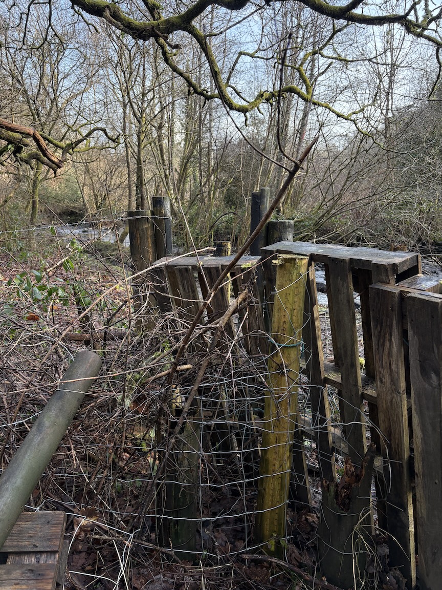
This issue comes alongside growing public concern about blocked rights of way across RCT, such as the blocked public footpath in the Cwm area of Dare Valley Country Park. Despite numerous complaints to the council and the issue being highlighted on Facebook, AberdareOnline, and elsewhere, access remains restricted.

Even the RCT Cabinet Member for Environment and Leisure is understood to have expressed concern about the closure of this footpath. Meanwhile, the Leader of the Council recently released information on the council’s obligations regarding the “Assertion and Protection of Highway Rights” in the case of Vicarage Road, Cwmparc — another area where public access has been questioned.
It is clear that greater transparency and action are urgently needed if public confidence in RCT Council’s management of PROW is to be restored.

Rights of Way: Applications for paths based on twenty years’ use
Frequently asked questions: Rights of way
The council is well funded to upkeep the records of PROW, but is it doing this or falling behind?
Recently, the council contacted Exegesis, a company based in Talgarth, Powys, that specialises in updating the definitive map details.
RCT Rights of Way Definitive Map Update
Client: Rhondda Cynon Taf County Borough Council
Various datasets relating to the rights of way management in Rhondda Cynon Taf had fallen out of date, and exegesis was asked to assist Rhondda Cynon Taf County Borough Council with the task of updating and correcting this information, using data from multiple sources to do so.
The data included Path Order Plans, the original Definitive Maps for Rhondda, Cynon & Taf Ely, OS County Series maps and the Definitive Statements for the paths, as well as modern digital mapping such as the Ordnance Survey MasterMap data.
The first stage of the project was to scan and register the Definitive Map sheets and the Order Plans so that the base mapping could be compared to MasterMap. Direct tracing of the routes from the Definitive map scans was not practical, as many of the original Definitive Maps were of too small a scale, so the maps had to be interpreted by the digitisers to plot the routes against the MasterMap cartography.
Next, the changes made by the Orders had to be applied to the digitised network to bring it up to date. This included several large orders that came into force when major new roads were built, as well as smaller scale orders. The result from this was a digitised network which accurately reflected the Definitive Maps, as amended by all the subsequent Orders.
As part of the process, anomalies that could not be corrected were highlighted to the officers at RCT. These included things like developments built across the Rights of Way of which the authority had not been informed.
There was another strand to this project, which was to integrate the Definitive Statements and the scanned Orders with the authority’s CAMS. This involved passing the statements through Optical Character Recognition, and importing the checked text into the CAMS database. The scanned Order files were linked to the relevant CAMS records via LibraryLink
This project gave the RoW team at RCT an accurate, up to date digital mapping layer of their rights of way that was loaded into their CAMS solution. This was combined with integrated Orders and Statements so that all the legal information for their Rights of Way was available in one place.
Related Posts

Should Rhondda Cynon Taf Council consider public footpaths and make them into Public Rights of Way within the proposed new Development Plan?

Public rights of way blocked in 32,000 places
Cefnpennar Road culvert network provided inadequate standards of protection in free-flowing and blockage conditions why? Years of lack of investment by Rhondda Cynon Taf Council?