The area density of landslides in the coalfield of South Wales is one of the highest in the U.K.
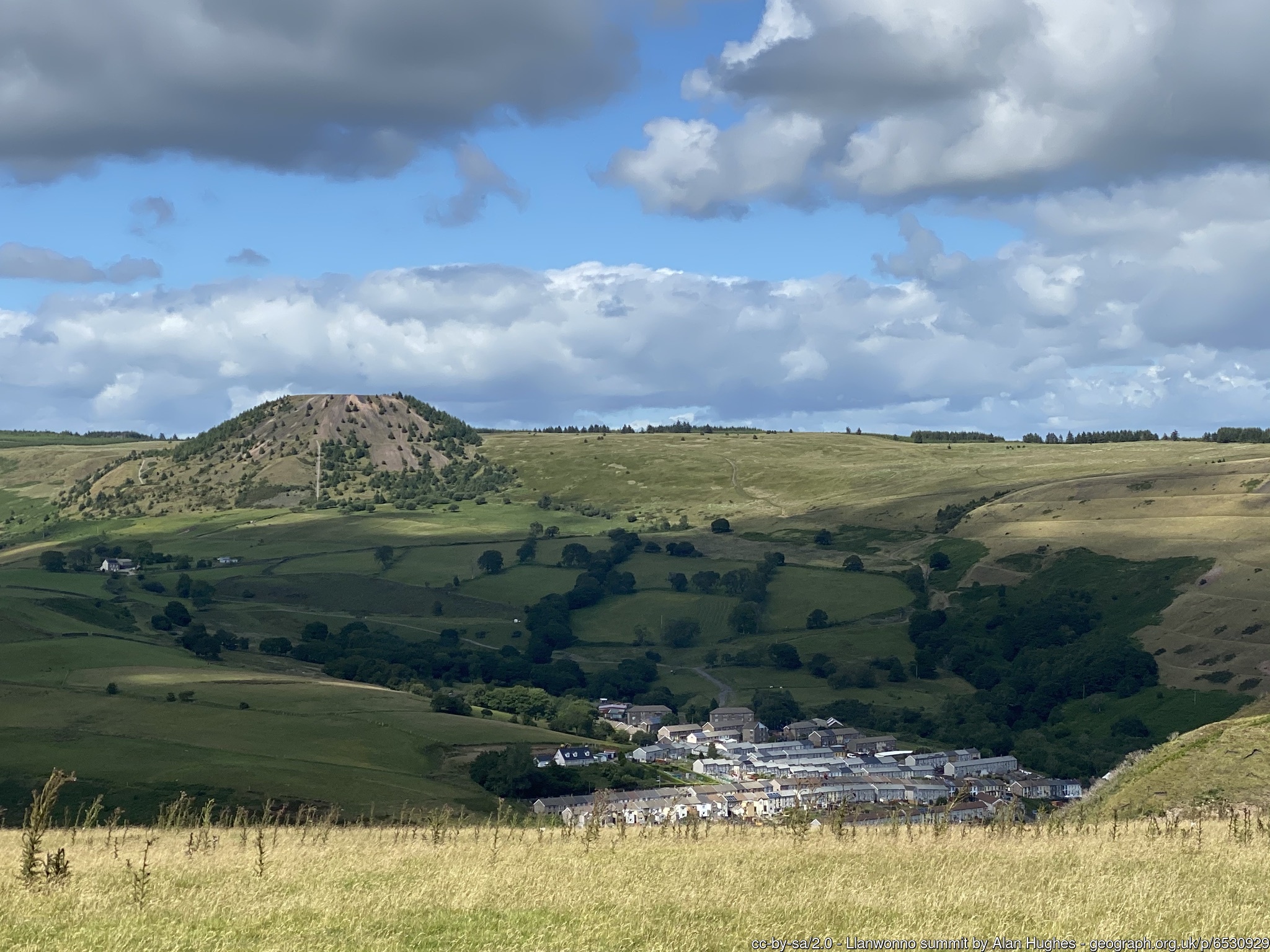
Back in November 2021, AberdareOnline requested information about local coal tips within the boundary of Rhondda Cynon Taf this was after several old redundant coal tips started sliding, the one that everyone remembers is the Tylorstown landslip that happened on February 16, 2020, the landslip occurred on the Llanwonno hillside at Tylorstown, as Rhondda Cynon Taf was hit by three storms in quick succession.
Understandably residents were concerned that Rhondda Cynon Taf Council refused to disclose the location of the most dangerous coal tips in Rhondda Cynon Taf. We contacted the council and requested information under the Freedom of Information Act on the location of all old coal tips in RCT, the council rejected our request for information therefore we contacted The Information Commissioners Office (ICO) about the non-disclosure of information, the ICO informed RCT Council that they had to disclose the information. The council then went to the Law court the First Tier Tribunal to prevent disclosure of information. On February 5 we received this from the council.
“Further to the recent decision of the First Tier Tribunal (Information Rights) in relation to the Information Commissioners decision notice C-159368-P0Y2 of 19 December 2022 please find attached the information previously withheld by the Council in respect of your request dated 21st November 2021 relating to coal tips within Rhondda Cynon Taf.”
Rhondda Cynon Taf – Coal Tips Map
Note: The information provided on this map was supplied by Rhondda Cynon Taf County Borough Council via a Freedom of Information request received in February 2024. Locations presented on this map are approximate based on Easting and Northing co-ordinates supplied within the FOI request.
Landslides are more common than we are led to believe especially after prolonged rainfall, the 1935 colliery landslide in Cwmaman near Aberdare reports at the time it was a result of recent rainfall thousands of tonnes of earth and slag slid from the side of the mountain. The Aberfan disaster was Britain’s worst landslide disaster in which 116 children and 28 adults were killed.
After the storms of 2020, many people were concerned about the safety of old coal tips near them so much so Philip Thomas started a Facebook account relating to Clear South Wales’ Coal Tips I know Philip has done much to address the need to remove the dangers that have been left by previous generations, Philip has highlighted the bad drainage around some coal tips, it was bad drainage that cause these landslides as in Aberfan disaster, The Cilfynydd flow slide
Our original FOI also requested the council how regular coal tips were monitored and inspected the answer: Category D1 – once every Month Category D3 – Once every 3 months Category C – Once every 6 Months Category B – Once Every 12 Months Category A2 – Once Every 2 Years Category A4 – Once Every 4 Years Category R – These Tips are ‘Reclaimed’ therefore no inspections.
We asked the council who is employed to monitor and inspect coal tips for any movement or activity in the 303 coal tips. The council advised there was one Senior Technician, one Senior Engineer also a Flood Risk Management Team who also supported the tip inspection process and undertaking tip inspections. This work is further supplemented with inspections by external consulting engineers (whoever they are) and The Coal Authority.
Statement by the Minister for Climate Change: Data on Coal Tip Locationsin the Senedd
In October 2021, I published the number of tips by local authority. This data set has enabled the taskforce to prioritise inspections and maintenance works on the category C and D tips. Tip information has already been shared with local authorities and local resilience forums to assist development of emergency preparedness plans where required for the higher rated tips.
“We have now written to over 1,500 landowners and nearly 600 occupiers of properties across Wales, to inform them that they are likely to have all or part of a disused coal tip on their land. Before I go any further, I want to make it clear that today’s publication does not mean there is an immediate issue with any specific disused coal tip. More than three years on from the Tylorstown landslide, there is a dedicated Welsh Government programme in place to regularly inspect and maintain these disused coal tips, and we know significantly more about these tips than we did before. All that is being asked of homeowners and occupiers is to allow access to their land to representatives from the Coal Authority or local authority to undertake inspections or maintenance works, when these are needed.”
Lessons from the Aberfan disaster and its aftermath
Voters in safe seats are marginalised. Aberfan was rock-solid Labour: therefore Labour governments had an incentive to ignore it, and Conservatives had no incentive to pay special attention to it.
Marginalized communities, peoples or populations are groups and communities that experience discrimination and exclusion (social, political and economic) because of unequal power relationships across economic, political, social and cultural dimensions
Rhondda Cynon Taf Coal Tips List
Related Links
- The geology of the South Wales Coalfield Part 6 The country around Pontypridd and Maesteg (explanation of one-inch geological sheet 248) Memoirs of The Geological Survey of Great Britain https://webapps.bgs.ac.uk/Memoirs/docs/B01830.html
Related Posts

Rhondda Cynon Taf Council why is it not in the Public Interest at the moment to publish locations of Coal Tips in RCT?

Rhondda Cynon Taf Council have appealed the ICO decision that the council must reveal coal tip locations to the residents of RCT.

Not in the public interest to publish? The Welsh Government has categorised each coal tip so why has the list of dangerous coal tips not been published?
