
What happens when you restrict floodwater
Rhondda Cynon Taf Council
Cynon Valley River Park Draft Strategy 15 May 2007
The first paragraph is taken from the above.
"The Cynon floodplain seems to be getting wetter. It is not clear why this is happening. It may be due to the closure of collieries that pumped groundwater to keep the pits dry, or it may be due to increased rainfall and runoff arising from climate change. Climate change is likely to lead to more rainfall, especially in winter, and to more severe storms and probably more flooding. Government and
Assembly policy is discouraging new built development on floodplains where there is a risk of flooding or where it may cause flooding elsewhere (Planning
Policy Wales, TAN 15 and the EAW ‘Policy and practice for the protection of
floodplains’)."
So what happens when you allow developers to increase ground levels on a natural floodplain?
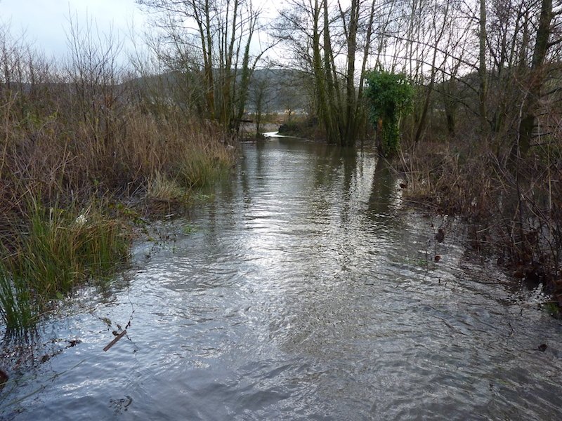
First you loose a large water catchment area and then you have an increase of groundwater levels spread over a larger area, all this gives rise to an increase in potential flooding problems to areas that were not within the original floodplain.
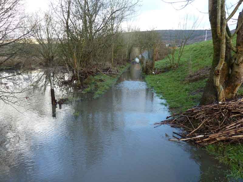
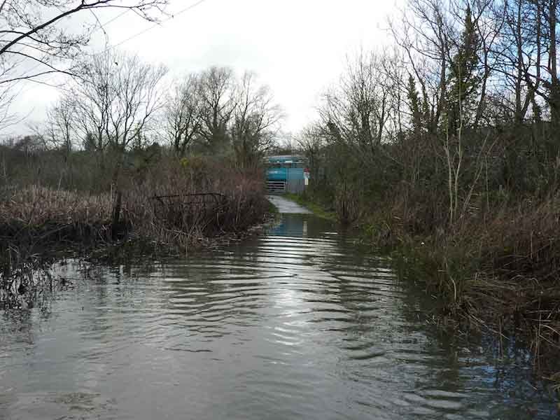
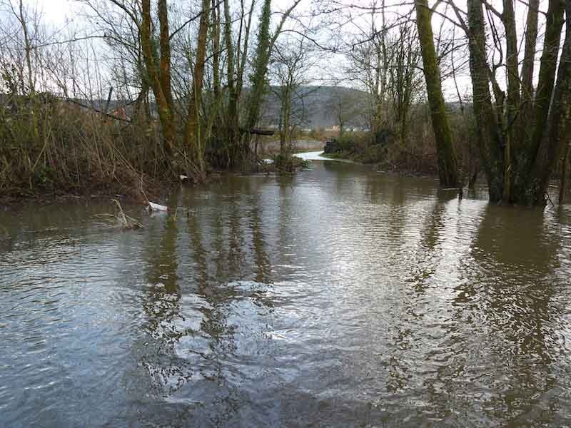
So lets take the Lagoons and wet pastures of Tirfounder fields Aberaman, we have just had another spell of heavy rain with the increase ground water levels and flooding from the river Cynon. Generally this would not be a problem, as the bulk of the floodwater would be dispersed into the natural floodplain. Take the floodplain away and what happens?
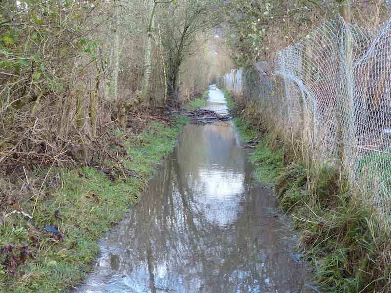
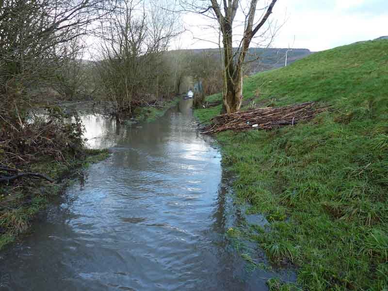
As you can see the newly constructed embankment and raised ground levels restrict water flow no floodplain anymore leading to increased flooding in other areas.
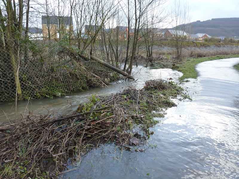
Just how far and wide has the groundwater height increased because when you infill on a floodplain? Is it as far back as the Ynys at Aberdare?
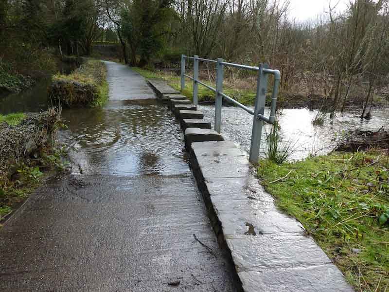
Rhondda Cynon Taf Council has had numerous problems with increasing water following and holding at the lowest point on a PROW at the Ynys. Is this ongoing problem because of a substantial increase in the level of groundwater?
We are getting more rain as Rhondda Cynon Taf Council explain in the Draft Strategy through climate change we have increased rainfall, more severe storms and probably more flooding.
Back 2007 Rhondda Cynon Taf Council put together some Potential projects some listed below.
• Seek funding for a water balance study of the Cynon floodplain
• Naturalise the river channel
• Improve and protect water quality and habitats
• Undertake projects arising from the Catchment Flood Management Plan
• Promote farming, forestry and other land use practices identified as contributing to flood alleviation.
• Green Energy Projects: Wildlife Trust SWW is becoming increasingly involved in green energy projects such as micro hydro-electric generation and can offer some expertise in this area.
• Abercynon or Cwmaman? Or both? Primary School (welsh school?) early stages investigating micro hydro
• Renewable energy /energy efficiency Dare Valley CP
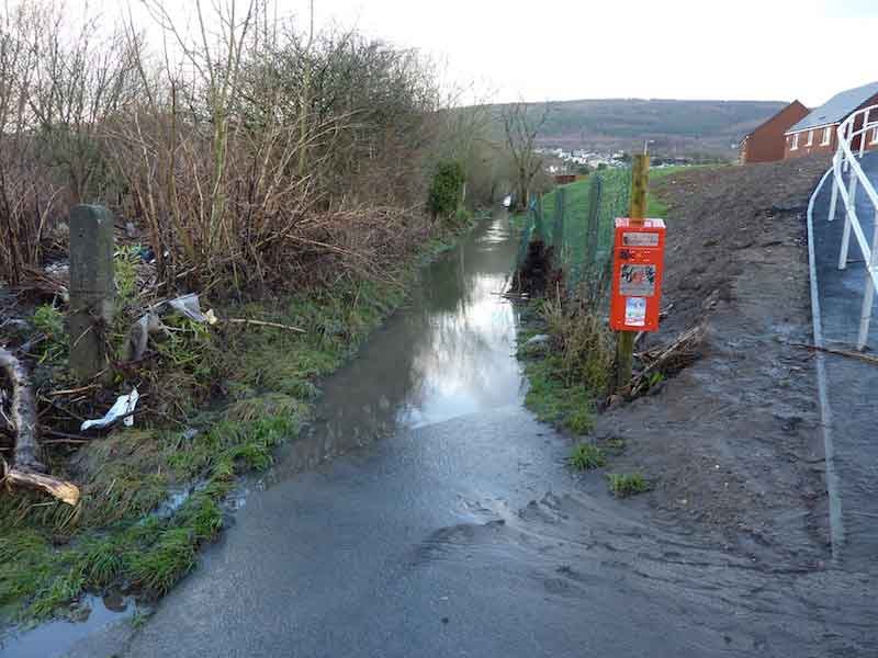
• Flood of public footpath at Tir Founder fields
• Flooding of the rail line at Cwmbach
Just how many of the above projects received funding?
Notes
Land rising, i.e. the raising of ground levels in association with building works or as an operation in its own right is not considered to be a flood prevention measure. It can adversely affect drainage systems and it removes flood storage capacity and interferes with the conveyance of floodwater. This can create or increase the risk of flooding elsewhere. It can also damage visual amenity and impair the natural functioning of the floodplain with consequent adverse effects on the natural and built heritage. Accordingly, proposals to raise ground levels in undefended flood plains should not be permitted.
- Log in to post comments