Mapping our special places in Wales
People can now ‘walk’ some of Wales’ iconic trails and paths from the comfort of their armchair after Natural Resources Wales (NRW) teamed up with Google to add our special sites to Google Street View.
These give people a 360̊ panoramic view, so anyone with internet access can virtually ‘walk’ the trails using Street View on Google Maps.
This project is part of NRW’s commitment to help more people get active and enjoy the outdoors.
Max Stokes, Natural Resources Planning Officer said:
“We look after loads of sites across Wales where people can go running, walking and mountain biking.
“Launching the digital maps with Google means we can now showcase these special places on a global platform.
“We hope that this ‘virtual warden’ experience will encourage more people to get out and enjoy the outdoors."
The maps include routes along the boardwalks at Cors Caron, through Dyfi Ynyslas Nature Reserve and around the beautiful waterfall country in the Brecon Beacons.
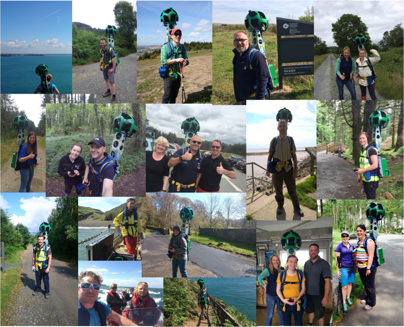
And this was all completed by NRW staff who volunteered to be involved.
Max Stokes continued:
“We had over 60 members of staff who walked over 40 individual routes with the Street View Trekker.
“The camera was worn like a backpack so we could capture trails only accessible by foot.
“It was their enthusiasm which was key to the project’s success.”
More information about the project, and a full list of the mapped sites, can be found in the blog from Max on NRW’s website.
The digital maps can be found on Google Maps.