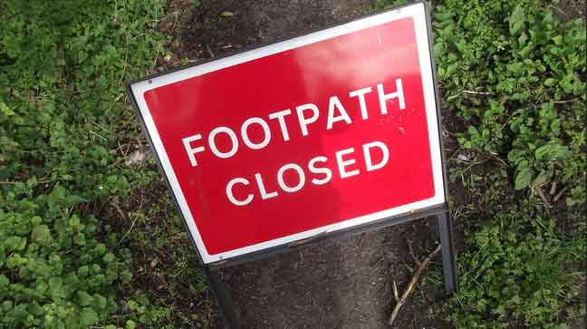
DEFINITIVE MAP MODIFICATION FOOTPATH 28 CWMBACH ORDER 2018
RHONDDA CYNON TAFF COUNTY BOROUGH COUNCIL
DEFINITIVE MAP AND STATEMENT FOR THE BOROUGH OF CYNON VALLEY
DEFINITIVE MAP MODIFICATION (FOOTPATH 28 CWMBACH) ORDER 2018
The above order made on 31 July 2018, if confirmed as made, will modify the definitive map and statement for the area by adding to them the footpaths described in the Schedule to this notice.
A copy of the order and the order map may be seen free of charge at The Pavilions, Cambrian Park, Clydach Vale, Tonypandy CF40 2XX and at Aberdare Library, Green Street, Aberdare CF44 7AG from 20 August 2018 between 10.00am and 4.00pm Mondays to Fridays.
Any representation or objection relating to the order must be sent in writing to the Director of Legal and Democratic Services, The Pavilions, Cambrian Park, Clydach Vale, Tonypandy CF40 2XX to be received not later than 2 October 2018, and applicants are requested to state the grounds on which it is made.
If no representations or objections are duly made to the order, or to any part of it, or if any so made are withdrawn, the Rhondda Cynon Taff County Borough Council, instead of submitting the order to the Welsh Ministers may itself confirm the order, or that part of the order. If the order is submitted to the Welsh Ministers for confirmation, in whole or in part, any representations or objections which have been duly made and not withdrawn shall be sent with it.
SCHEDULE
PART I
Description of path or way to be added
Footpath 28/1 Cwmbach
Shown A – B – C on Order Map
Commences on the public highway known as Blaennantygroes Road, Cwmbach at Point A on the Order Map (Grid Ref: SO02470199) to the north of the property known as St. Clouds, Blaennantygroes Road. It proceeds along a well worn hard core track in a south-east and then a general south-south-east direction passing to the east of St. Clouds for approximately 40 metres to a step at Point B on the Order Map (Grid Ref: SO02500195). It then proceeds in a general southsouth- east direction across the site of the former Cwmbach Library, passing a grassy area and a tarmac area for approximately 70 metres to terminate on the public highway known as Morgan Row (Grid Ref: SO02510188).
Length 110 metres. Width 2 metres.
Footpath 28/2 Cwmbach
Shown D – E – F on Order Map
Commences on the hard core track to the east of St. Clouds, Blaennantygroes Road at Point D on the Order Map (Grid Ref: SO02490196). It proceeds along a rough tarmac path in a general east direction up a moderate incline with shallow steps, passing through a wooded area for approximately 30 metres to a gap in a wall to the north-west of the public highway known as Pond Place, Point E on the Order Map (Grid Ref: SO02520196). It then proceeds in a general south-east direction crossing an un-surfaced area for approximately 6 metres to terminate on Pond Place approximately 5 metres from No. 2 Pond Place at Point F on the Order Map (Grid Ref: SO02530196). Length 36 metres. Width 2 metres (except at Point E where the width is 95cm).
Dated: 20 August 2018
Christopher B. Jones
Director of Legal and Democratic Services The Pavilions, Cambrian Park, Clydach Vale, CF40 2XX
TM Ref: 225525196-01


