CWMAMAN LAND DRAINAGE IMPROVEMENT WORKS REGULATIONS 1999
Rhondda Cynon Taf County Borough Council
Notice in effect from 11 May 2017 until 17 May 2017
RHONDDA CYNON TAF COUNTY BOROUGH COUNCIL
ENVIRONMENTAL IMPACT ASSESSMENT
(LAND DRAINAGE IMPROVEMENT WORKS) REGULATIONS 1999
IMPROVEMENT WORKS RELATING TO
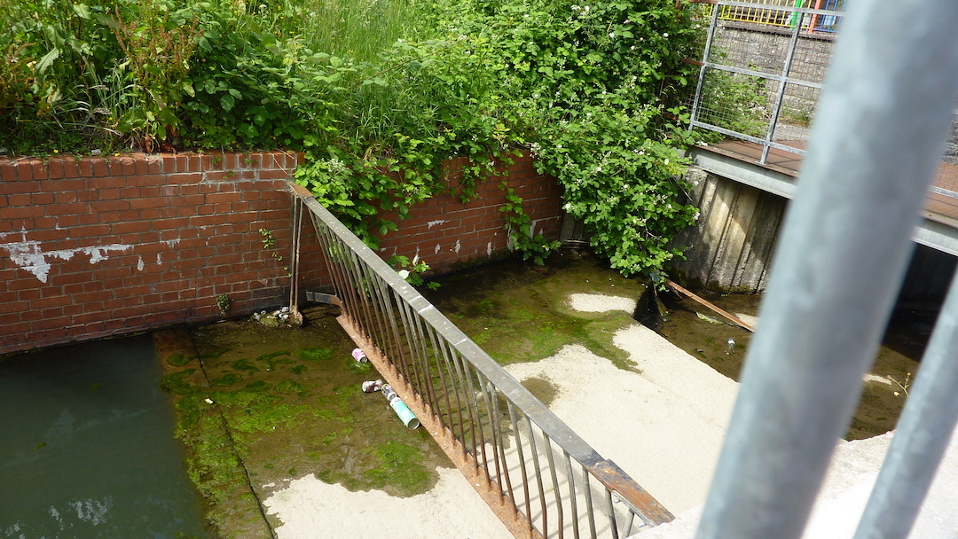
Cwmaman Flood Alleviation Scheme
THE RHONDDA CYNON TAF COUNTY BOROUGH COUNCIL
(“The Council”) GIVES NOTICE in accordance with Regulation 5 of the Environmental Impact Assessment (Land Drainage Improvement Works) Regulations 1999 as follows:
1. The Council proposes to carry out land drainage improvement works on the watercourse to enable the area to be reprofiled to attenuate peak surface water flows on the Nant Aman Fawr at Cwmaman. This will reduce the peak flows to the downstream existing culvert which is in an area which has a high risk of flooding.
2. The Council does not intend to prepare an environmental statement in respect of the proposed improvement works.
3. A description of the location, nature and size of the improvement works are set out in Part I of the Schedule to this Notice.
4. Any person who wishes to do so may make representations in writing in relation to the likely environmental effects of the proposed improvement works to the Service Director of Highways, Transportation and Strategic Projects at Sardis House, Sardis Road, Pontypridd, CF37 1DU within 28 days of the date of this Notice.
5. The additional information concerning the improvement works set out in Part II of the Schedule to this Notice can be obtained from the Service Director of Highways, Transportation and Strategic Projects at Sardis House, Sardis Road, Pontypridd, CF37 1DU during normal office hours.
SCHEDULE
Part I – details of improvement works
Location of improvement works: Public Open Space (reclaimed former colliery and spoil tip) and natural watercourse West of Cwmaman. (OSGR 298913, 199520), Nature and size of improvement works: All temporary and permanent works associated with:
i. Works to attenuate surface water thereby reducing peak fl ows to the downstream existing culvert.
ii. Softening of existing silt trap / pond to encourage ecological enhancement.
iii. Creation of wetland shoulders to the existing pond.
iv. Reinstatement of all areas affected by the above works. Part II – Additional information
The location of the proposed works are shown on Drawing Number P040/002/110
Dated this 5th day of May 2017
Christopher B Jones
Director of Legal and Democratic Services